
The Effra is another of London's hidden rivers and runs from Norwood down to the Thames by Vauxhall Bridge. It is nine miles long and I split this into two separate walks breaking at Herne Hill. This time I followed the information in David Fathers' London's Hidden Rivers.
The nearest station to the start of the Effra is Crystal Palace so I headed there. Because at the moment the Southern trains from Victoria have been cut short and only start at Balham I took the alternate route via Canada Water to pick up the London Overground trains from Highbury and Islington, arriving at Crystal Palace at 10.50.
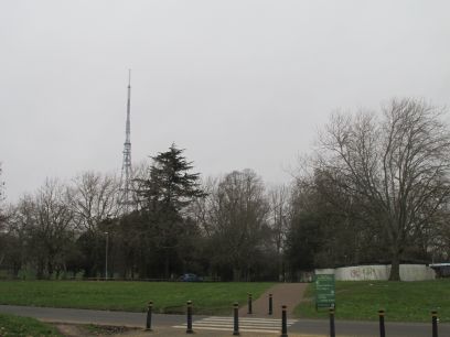
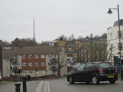
From the station exit both the Crystal Palace transmitting mast and the reserve mast at Croydon are visible in opposite directions. To get to the start of the river in Westow Park rather than the route down the main road the book suggested I followed the slightly more scenic Capital Ring section 4 route which crosses the park. On the way I met a couple of chaps doing the Ring and chatted a while until we went our separate ways there. Doing these walks is very much an activity of those of us our age.
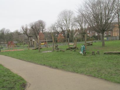
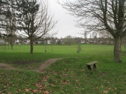
The Effra is suggested to start within the fenced area of the playground in Westow park but apart from a few puddles there is no visible sign although the park slopes steeply downhill so an obvious place for springs in former days. Through a few suburban streets and Upper Norwood Recreation Ground is passed along Chevening Road, but the river flows the opposite side of that road.
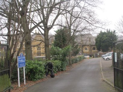
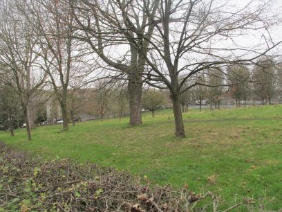
As with the other walks clues to the route of the river can be deduced from signs of the river valley and in this case manhole covers and stink pipes. There is allegedly a manhole cover at the bottom of a cul-de-sac off Hermitage Road in Norwood where the sound of the Effra can be heard. But there were several manhole covers there in what is a newish estate and I could not identify which if any was the one mentioned. However nearby is the Virgo Fidelis Convent School, a magnificent building erected in the 1850s at the time on the river banks. Then Norwood Park, one of the few remaining pieces of the Great North Wood which shows signs of the valley running along the road to the left.
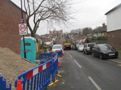
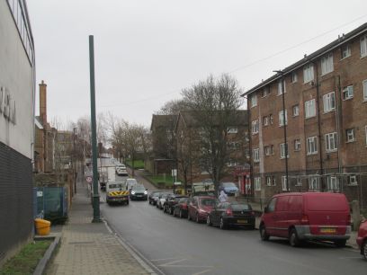
Eylewood Road off Elder Road shows the river valley very clearly as does Gipsy Road where at the bottom is a Victorian cast iron stink pipe. I was a little confused by the 'weak bridge' sign but this refers to the railway bridge just ahead and has nothing to do with the river.
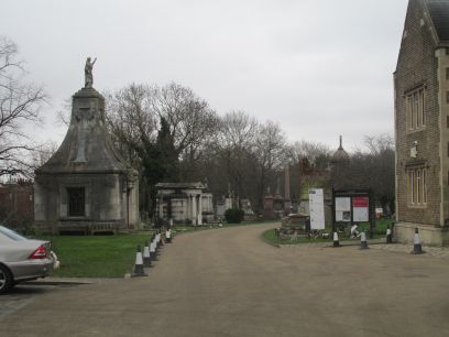
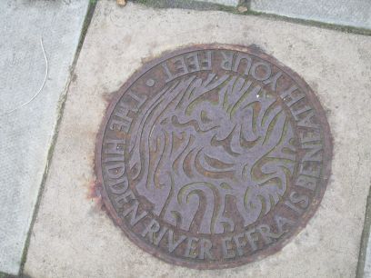
West Norwood Cemetery was created in 1837 after the river, which crosses it, was buried. Rumour has it that a coffin buried there found its way into the river and emerged at Vauxhall Bridge some time later, almost certainly a myth. But the plaque on the pavement in Ardlui Road is very real and one of a series of plaques by Lambeth Council to mark the route of the river - see www.atelierworks.co.uk/wayfinding/what-lies-beneath.php
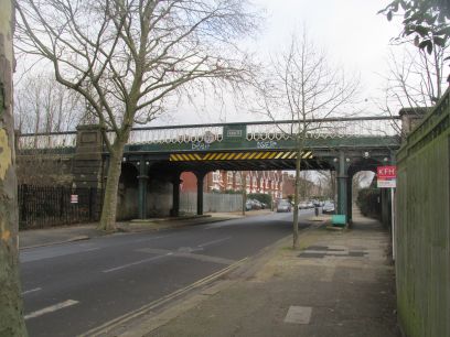
Much of the railway south of the Thames is elevated on man made embankments due to the low lying ground subject to flooding. This magnificent bridge was built in 1863 and is close to the river path. The walk then continues past Dulwich Sports Centre associated with the nearby college. The large Belair Park earlier, whose ponds were created by damming a tributary of the Effra, was not visible from the road because of houses
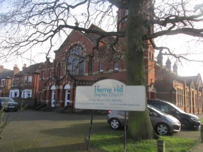
Burbage Road and then Half Moon Lane more or less follow the river path and bring me to my half way point, Herne Hill station. After a very pleasant late lunch at the Half Moon I caught the train back home - in this case via Victoria station, tube to Embankment and a final walk over the Golden Jubilee bridge to Waterloo and home. As ever a nice day out - and the sun finally appeared when I finished.
The lower parts of the Effra are not quite as interesting as the upper ones and there are very few actual signs of the river and if there were any stench pipes or pavement plaques I missed them. On the way up I changed at Clapham Junction and caught a train from there to Victoria which turned out to be a Gatwick Express that was not really one with the current restricted timetable by Southern but was packed with airline passengers. I arrived where I had left off last week at Herne Hill station at 1040am.
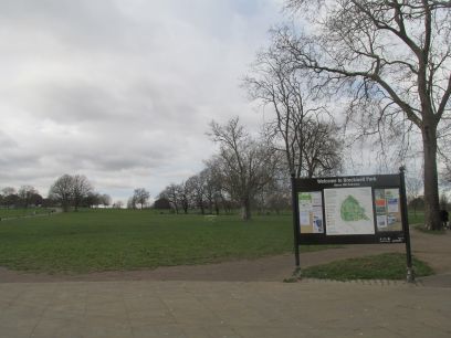

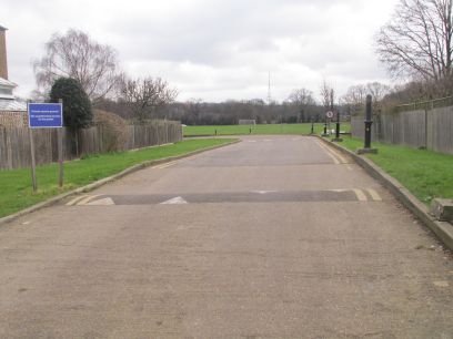
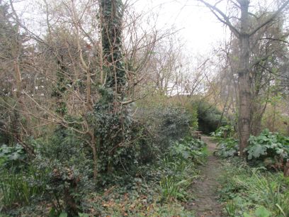
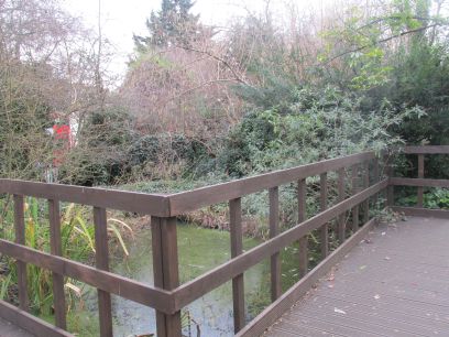
Under the railway bridge and immediately in countryside with the large Brockley Park with its Lido. It lies between the Effra and one of its tributaries and in the top corner of the park, off the walk route, are three ponds which the above surface tributary briefly flows through. The main Effra flows along the adjacent Dulwich Road and in old times the houses along there had bridges to them across the river - all those house are clearly long since gone and it is new development.
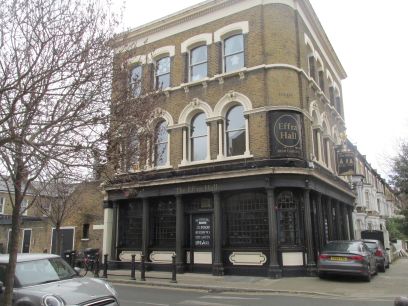
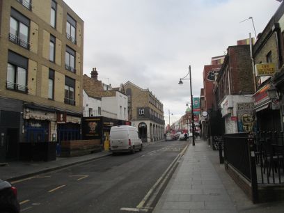
The Effra Hall pub lies immediately on the route of the culverted Effra. Then some residential streets roughly following the route as the walk approaches Brixton.
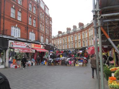
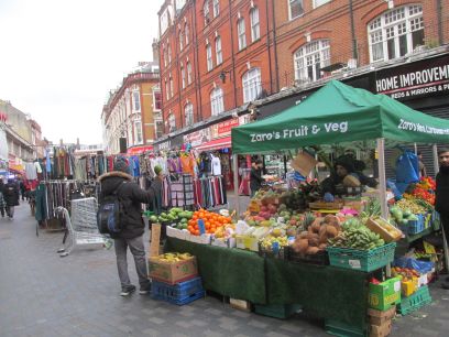
The centre of Brixton is dominated by its street markets on the pedestrianised Electric Avenue and Electric Lane, so named because they were the first to be illuminated in the UK with electric light. Even mid week the markets were very busy and you could almost say they were 'electric'.
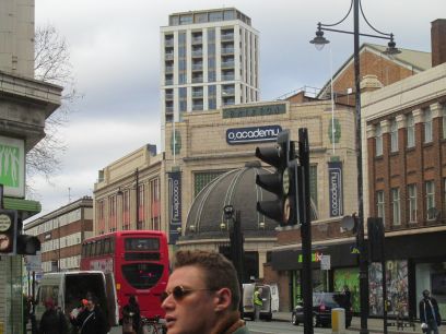
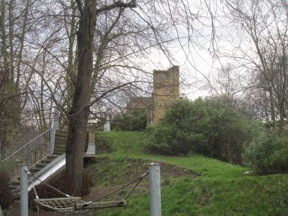
The walk now follows the main Brixton Road for about a mile, definitely the boring part and although the river follows down its right hand side there are no clues. But a few items of interest. The O2 Academy was built in 1929 as a cinema and later became a rock music venue before being renamed the Brixton Academy in 1983. The Sex Pistols, Eric Clapton and others have played here over the years. Then a small area of green space Max Roach Park, a recent area built on former land of derelict cottages. The map seemed to show a small pond and I wondered whether the hill with a ruin on top was something to do with the river. Alas no, it is 'Brixton Castle Ruins', built as a sham for the kids in the play area there.
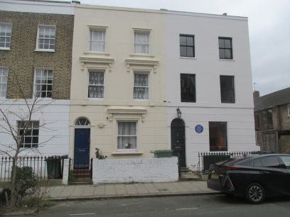
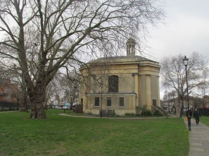
A short diversion from the route is the house where Vincent Van Gogh lived for a short time, opposite is Van Gogh primary school. Then at the end of Briton Road we reach Kennington and Kennington Common ahead, but the river does not go that way. St Mark's Church is passed on a small separate part of the Common, one of three churches originally built on the Effra and consecrated in 1824.
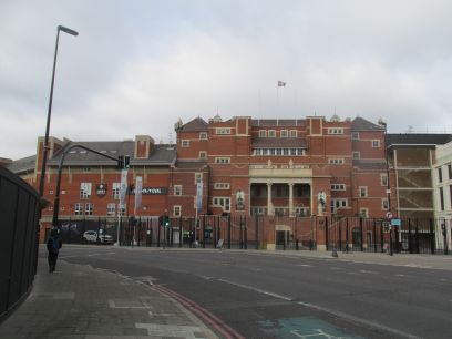
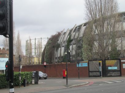
The Oval cricket stadium was built on an oval piece of land between the Effra and a former tributary and a hill was formed from excavated spoil when the river was enclosed - a very visible sign of the former river. With the famous Oval gasometers in the background.
Now away from the river route into the streets of Vauxhall. Harleyford Road Community Gardens was opened in 1984 on the site of former houses and is run by the local community as an area of solace and refuge to many species. Soon the Vauxhall station complex is reached and the river continues from here to the Thames nearby. I had walked that bit a few weeks back when doing the Tyburn and knew the outflow was not visible because of the Thames Tideway work so ended the walk here. Pleasant lunch in the Anchor near London Bridge then a gentle walk along the South Bank to Waterloo and home.