
The Lea Valley Walk follows the Lea Canal and River over its London sections. It forms part of the longer LDWA trail which follows the Lea from its source in Bedfordshire down to the Thames.
Yesterday another trip up to London to fill in some of the loose ends in the TFL Walk London walks. Lea Valley section 5, which is a walk along the Limehouse Cut canal, but since that is just two miles I combined it with part of section 3 of their Thames Path north bank walk back to Tower Bridge. I have done very little of the north side of the Thames Path and after this walk I know why - the main Thames Path is on the South Bank because you can't see much of the river itself on the north side.
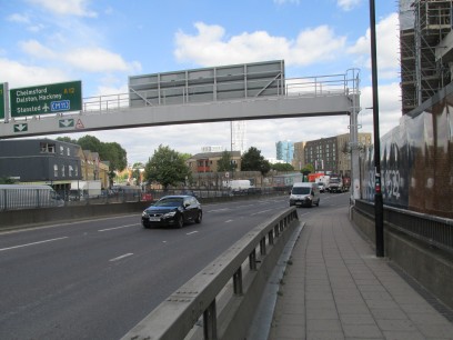
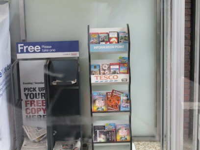
The start was where I had left off last week at Bromley-by-Bow underground station and the route to the canal is hardly very scenic, through a subway and then along the A12 Rotherhithe tunnel approach road then round the Tesco superstore to pick up the bridge over the canal. I have been taking much inspiration while walking the London Loop from the daily blogs by Diamond Geezer. He lives very nearby here and this week based his blog on the tourist leaflets in this very rack in that Tesco. Slight chuckle as I took a photo of it through the window just because it was there. See diamondgeezer.blogspot.com for a detailed analysis of these leaflets!
So on to the canal at Three Mills. There used to be a mill here in olden times and still a museum in House Mill open in normal times on Sunday afternoons. Nearby the former Victorian bottling plant is now a film studio. So down the canal, where I soon reached the new Twelve Trees ramp intended to be the start of the new Leaway down the southern stretch of the River Lea. Covered in scaffolding and sheeting it was not very photogenic but one could if one wished cross it for a bit of section 6 of the walk. But my walk soon crossed Bow Lock via a long footbridge and the Limehouse Cut canal, which opened in 1770, begins.
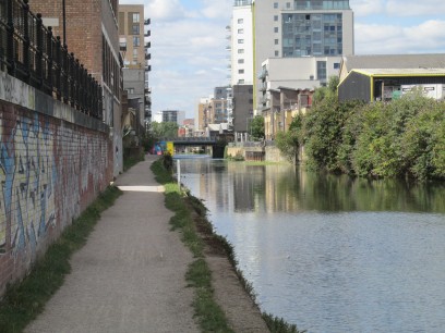
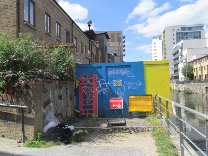
The Limehouse Cut was a quite pleasant walk but the towpath was narrow in places though it was very much 'just canal'. Progress was good until I reached an impasse - 'Improvements to Cotall Street' with an end date of 31/1/20 according to the sign. Um.. So I had to follow a quite long unsigned diversion along the local streets, meeting cyclists and other walkers asking which way to go, until finally arriving back on the canal at Abbots Wharf Dock, nothing more than a small inlet.
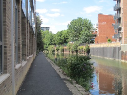
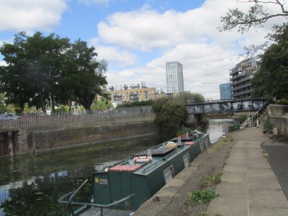
So more canal, quite busy with cyclists and eventually reach Limehouse Basin and the Thames. I was last here in November while doing section 10 of the Jubilee Greenway. Originally the Limehouse Cut did not flow into the basin but directly into the Thames further along Narrow Street, but diverted into the basin in 1864 with the original access blocked off.
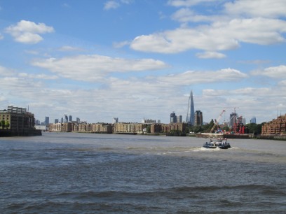
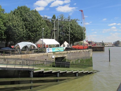
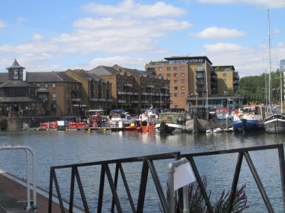
So now on to TFL's Thames Path walk, which I was trying to follow in its reverse order. At Limehouse the view of the river is excellent. But then it diverts into back streets with only occasional glimpses of the water like at Shadwell Basin (right photo).
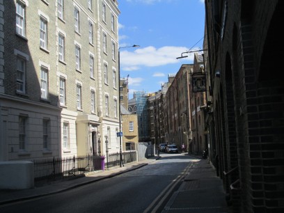
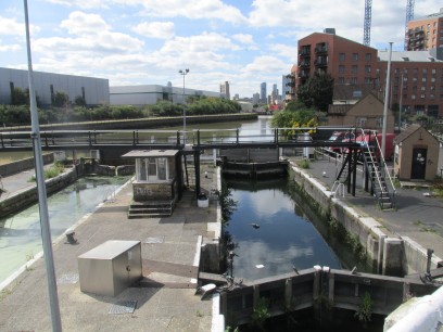
Then the whole of the walk is along Wapping High Street - 'A quiet cobbled street with some traditional riverside pubs', which may be how some describe it but not me. Even one of the paths along the river itself was firmly locked out of use. Eventually I reach St Catherine's lock, but not without getting lost for a while, nothing is well signposted. The plan was to eat at the Dickens at St Catherine's but I was told they weren't serving food until tomorrow so went across Tower Bridge and ate at a different place close to London Bridge. Then from there back on the train to Waterloo East and Waterloo for the trip home. A nice day out, but I can see why I have never done that north bank before, cannot recommend it.