
Another hidden river walk, this time the Tyburn. The Tyburn rises at two sources near Hampstead then flows under Regents Park, Marylebone, Mayfair, Green Park and joins the Thames at Vauxhall. The lake in Regents Park was originally formed by damming the Tyburn. Like the other rivers it has been covered over for many years. The walk consists of identifying the river valley and clues from street names although its outflow into the Thames is visible.
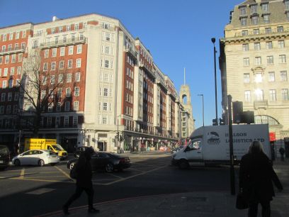
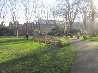
We pick up the river at Baker Street tube station and the busy metropolis. I gather the culverted river is visible just inside the tunnel at the Metropolitan Line platform. The route through Paddington Street Gardens, a former burial ground now sanctified by the church as a public park.
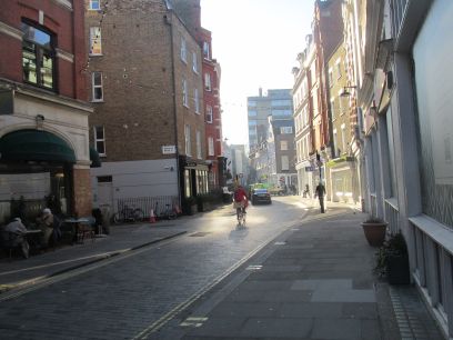
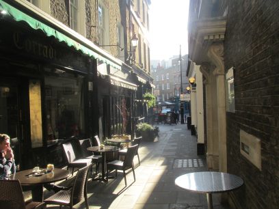
The route of the river is picked up at Marylebone Lane where the winding road reflects the river path. The bone in Marylebone reflects the river. Branching off into Jason Court the river is followed and then along the parallel James Street down to Oxford Street. The path followed by the Favourite London Walks doesn't quite follow the river at this point and misses an important feature in South Molton Lane where in the basement of Gray's Antique Centre there is a little stream signifying the river which runs directly underneath the shop, added recently.
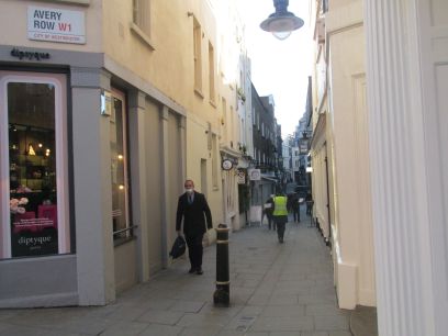
The route of the river is picked up again lower down in South Molton Lane following on into Avery Row built in 1720 by the bricklayer Henry Avery over the newly culverted Tyburn. We are now in Mayfair. This is really in the river valley. The route ahead was blocked off so a small diversion was needed to reach Bourdon Street.
From the low point at the bottom of Bourdon Street a diversion is necessary via Berkley Square then the river route is picked up again on Bruton Lane and then the pedestrian Lansdowne Road. This leads down to Shepherd Market, originally on the river bank then away from the river along Down Street. The guide book mentions the now closed Down Street Underground station but this is actually further along and not passed as the route turns into Brick Street and picks up the river again just before Picadilly.
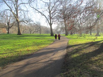
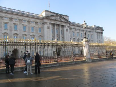
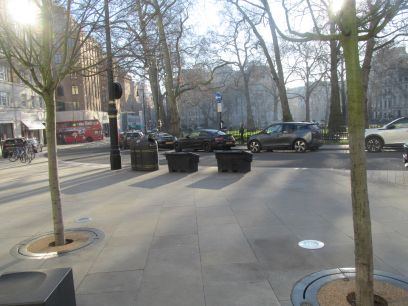
Across Picadilly and into Green Park. The river flows straight through here and evidence can be seen of the valley in the undulations. Then it flows directly past Buckingham Palace right in front of where the few tourists are gathered.
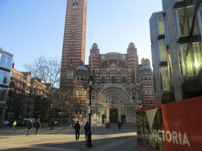
From here the route down to the Thames is less interesting. First it follows the streets down to Victoria Street and the impressive Westminster Cathedral. King's Scholars' Passage is named after the former King's Scholars' Pond into which the Tyburn flowed. Then along Tachbrook Street directly over the river down to Pimlico Underground Station. Continuing away from the river down to the Thames near Vauxhall Bridge.
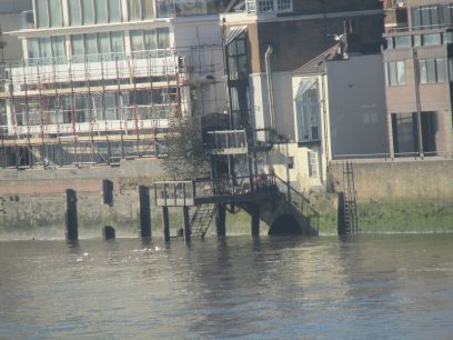
The Thames is reached at Crown Reach Riverside walk. The book claims you can see the outlet by straining over the parapet, or ciimbing down the stairs to the beach area at low tide but that is only for the brave and certainly not at high tide as was the case now. It suggested the best view was from Battersea Gardens on the south bank but work on the Nine Elms housing estate made that inaccessible as well. But a quite good view was possible from Vauxhall Bridge.
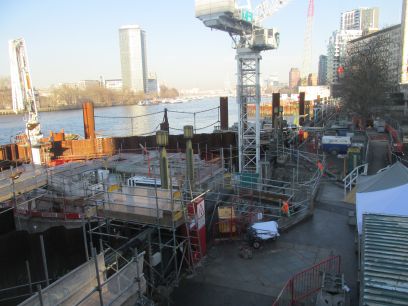
The original plan was to have lunch at The Rose on the South Bank just along from the bridge. But access to the river was closed off each side due to work on the Thames Tideway. The outflow of the Effra is also to be seen there, well it might be somewhere among all those workings.. So after struggling twice at the busy pedestrian crossing I dived down into the Underground and went to London Bridge again, this time eating at the Old Thameside Inn, then headed home.