
Earl's Sluice was named after William FitzRobert, Earl of Gloucester, son of Henry I. It rises in the Denmark Hill area, flows north through Camberwell then east to Bermondsey before joining the Thames at Rotherhithe. Like the other rivers it was culverted by 1820.
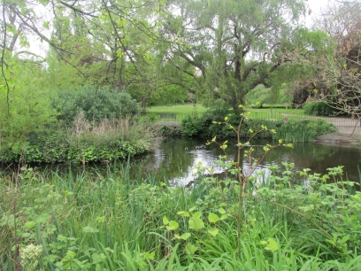
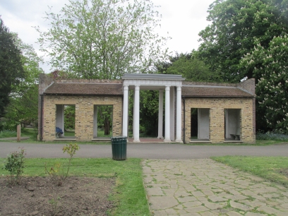
I started the walk at Denmark Hill station close to the source from ponds in Ruskin Park. This park was opened in 1907 and named after the writer John Ruskin. Originally it was housing and the Portico was preserved as a shelter in the park.
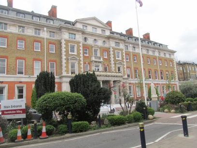
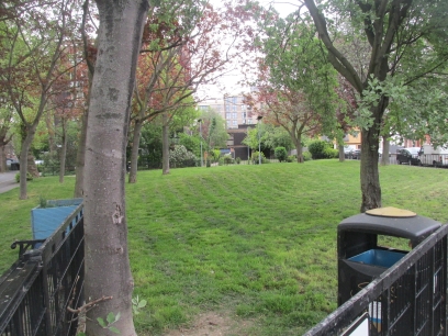
King's College Hospital moved to Denmark Hill in 1913 and has expanded enormously over the years. The walk and river passed through it and it certainly is a large and busy hospital. Then a section of residential roads but with the occasional small park.
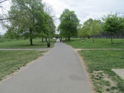
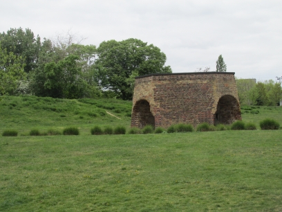
Then into Burgess Park. This was originally housing and factories and was redeveloped as a park after the war. The Grand Surrey Canal originally flowed through it but with declining canal traffic was closed and filled in in 1971. The main footpath through the park follows the line of the former canal. Some former features were retained including this lime kiln dating from the 1800s. Burgess Park is huge and formed around a third of the walk's length.
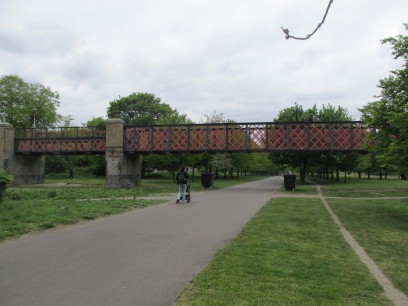
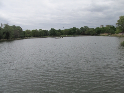
The Bridge to Nowhere in the centre of the park was built in 1906 for pedestrians to cross the canal. It is preserved as a piece of industrial heritage though now closed off to the public. Further on in the park is a large lake. Burgess Park was a pleasant section of my walk.
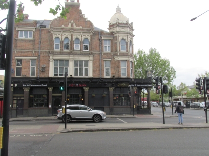
Out of the park and back on residential roads in Bermondsey. The Thomas a Becket pub on the Old Kent Road was a popular stopping place for pilgrims heading to Canterbury and has a long history. Now a Vietnamese restaurant. A little further on are the Southern Railway Stables, originally for stabling horses used on the railway and retained for recreational horses though its future and the adjacent blacksmith forgery is uncertain and will probably be developed for housing.

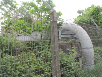
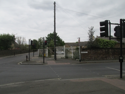
Along Ilderton Road Earl's sluice merges with Peckham River, my next walk, to then form the Earl Main Sewer. The route then passes under several railway lines. The guide book cautioned that the last underpass had no pavement but I found the road there has now been closed to traffic as a result of recent work by Thames Link. Then at another railway crossing the river is seen passing over the railway line in a large pipe.
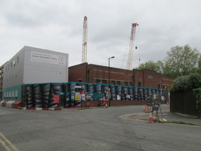
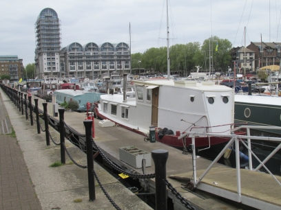
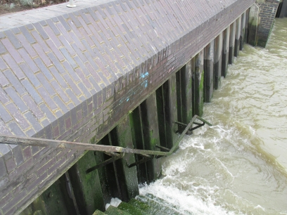
Down towards the Thames and The Earl Pumping Station is reached built to prevent the local area from flooding. Currently being worked on in connection with the Thames Tideway project. Then South Dock and the adjacent much larger Greenland Dock, part of the commercial docks in the area in the 1700s. The river does not flow through the docks rather parallel to it joining the Thames nearby.
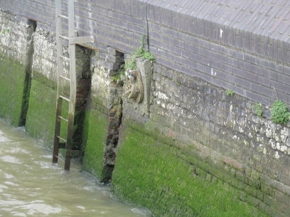
At low tide the main outflow sluice gate can be seen on the river bank, accessed by descending St George's Stairs, but the tide was in and the stairs in any case were locked. A smaller cast iron sluice gate is visible on the river wall. This ended my walk so I made my way back to nearby Surrey Quays station where I had lunch in the adjacent Wetherspoons before making my way back to Clapham Junction and home.