
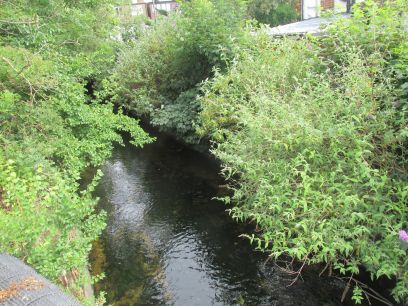
Beverley Brook is a stream in South West London with a source in Worcester Park. The walk follows it from New Malden to Putney where it joins the Thames. I followed the official guide produced by Merton Council. Although the guide suggests 6 miles and 3 hours I found with a couple of diversions it took me around 4 hours.
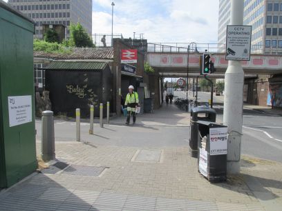
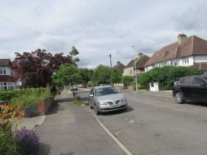
The walk starts at New Malden station which I reached via Clapham Junction, arriving there just before 10.30. A short walk through suburban streets before countryside is reached then it is green country most of the way.
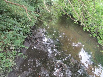
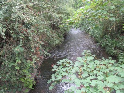
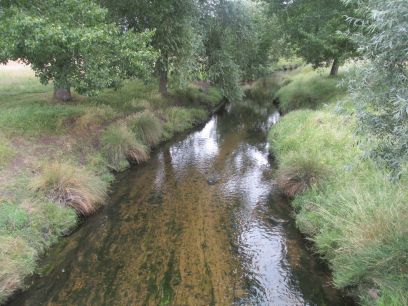
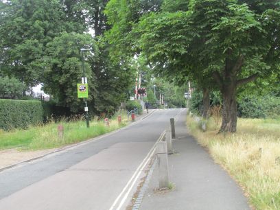
A pleasant wooded path goes across Malden Golf Club to approach the busy A3 which is crossed via a subway and then the first glimpses of the brook the other side. The brook flows parallel to the A3 up to Richmond Park and its noise was ever present.
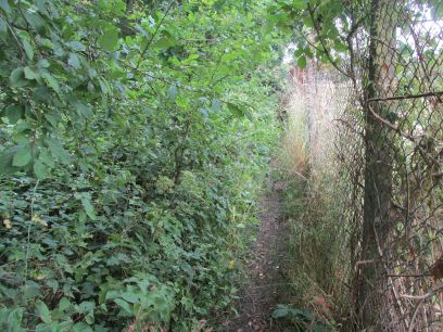
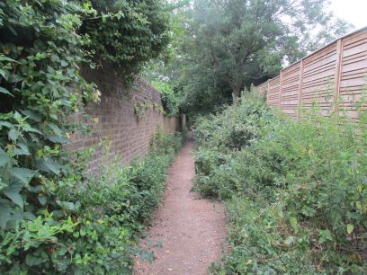
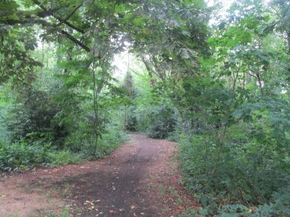
After a short diversion away from the brook it is soon rejoined. What follows is a very narrow footpath between the brook and Wimbledon Rugby Football ground, not only was it narrow but it also was badly overgrown with thistles and brambles to fight through. Meanwhile the other side of the fence were people walking easily across the rugby ground.
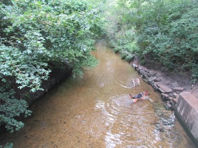
The narrow path eventually comes to an end and the brook flows alongside Wimbledon Common and was popular with dog walkers. A short bit of confusion around a bridge over the brook but a couple of ladies soon sorted me out.
The walk continues through the common and towards the top briefly joins the route of Capital Ring section 6 before reaching the A3 which I crossed via the pelican crossing.
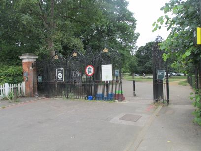
Richmond Park is entered at the Robin Hood gate and then across the car park to rejoin the brook at the eastern edge of the park.
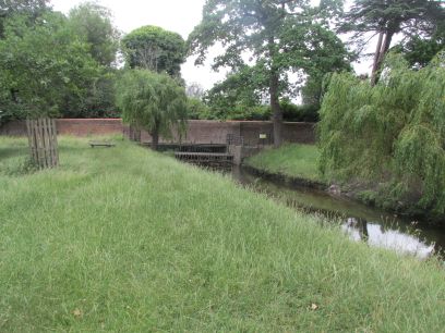
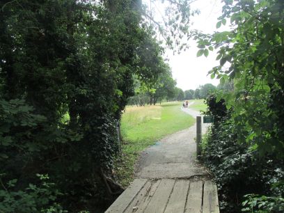
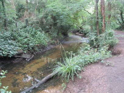
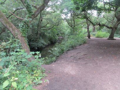
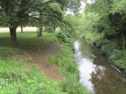
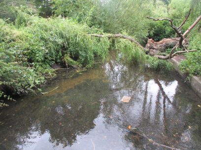
Through the park alongside the brook for around a mile. A bridge two thirds along crosses to the opposite side but the directions from there differed between the words and the map as there is no obvious path along the brook itself, rather the broad roadway which heads to the carpark and cafe. The brook eventually exits the park under its boundary wall (photo right) but you only get to that point if you had followed the brook itself. I got a bit confused at that point and ended up walking quite a way along the wall, finding the brook flowing under it, and then remaking my steps back to Roehampton Gate.
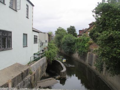
The path into Palewell Fields was also not obvious as it was hidden behind a new housing development site but once there was quite pleasant. The brook is left for a while with a short diversion along the busy Upper Richmond Road. A diversion is made along Priests Bridge to see the bridge itself with a culvert to take flood water to the Thames.
Then along the narrow Vine Road crossing the railway lines near Barnes station and onto Barnes Common.
The brook is briefly seen again then Putney Lower Common is reached. Here again the directions were confusing and after passing the disused Old Barnes Cemetery I failed to reach the brook, finding myself in a quiet residential street. I missed where it joins the Thames and decided to follow the main road into Putney. Lunch at the Rocket by Putney Bridge then down to Putney station and the train home.