
This is one of the walks in the book 'Exploring the Elizabeth Line' by Jeff Lock. It follows most of the Jubilee River between Slough and Taplow. The Jubilee River is a flood relief channel completed by the Environment Agency in 2002 to reduce flooding from the Thames in the Maidenhead, Windsor and Eton areas.
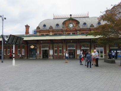
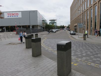
The walk begins at Slough station which I reached via the Elizabeth Line from Reading. Slough town centre is not the prettiest, initially dominated by a large Tesco store.
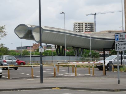
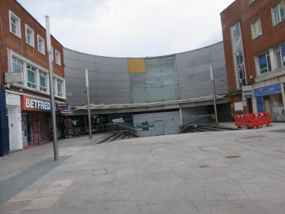
Passing the bus station, badly damaged by a fire in 2022 and still boarded up with its future uncertain. Then the Queensmere shopping centre whose western section was closed in 2023 and is scheduled for redevelopment. Slough was soon escaped from.
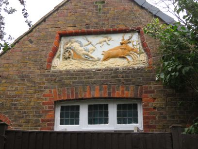
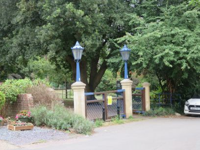
At the corner of Upton Road a house has a frieze depicting the goddess Diana hunting a stag. Then into Herschel Park with ornate lamps on its entrance gate.
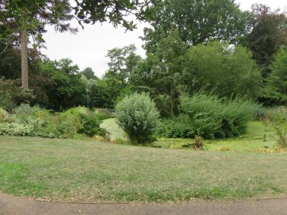
Herschel Park is a pleasant place with a couple of lakes though rather poorly with algae and the eastern part a Nature Reserve.
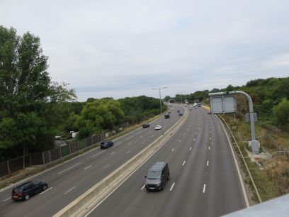
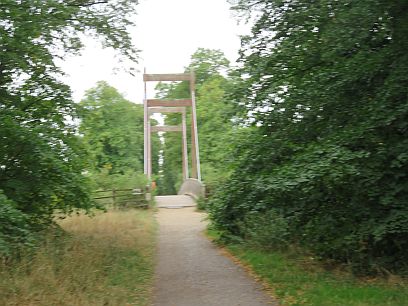
Then I am taken over the M4 via a long long bridge. The noise from the motorway, together with planes leaving Heathrow, would dominate for much of the walk. After a short stretch of rural estates I reached Myrke Bridge, also known as Michael's Bridge after a person who drowned there, which took me over the river. This is the first of the wooden bridges which are suffering decay though this one remains open for the moment.
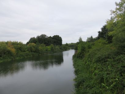
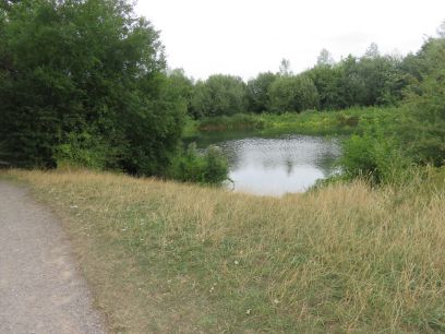
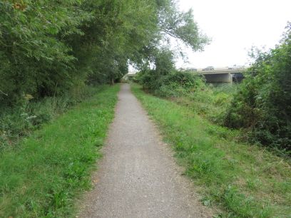
The view of the Jubilee River from the bridge, then it is largely hidden by trees and vegetation though occasionally made an appearance.
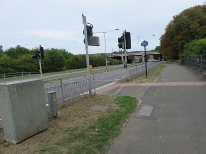
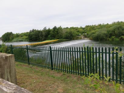
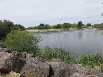
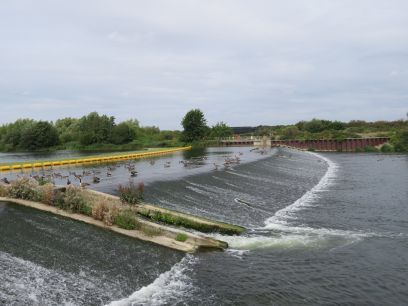
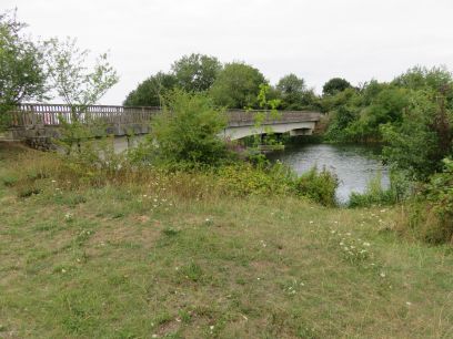
The A332 Slough Road which has to be crossed at traffic lights. Then the impressive Slough Weir.
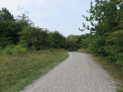
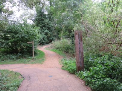
Another of the infamous wooden bridges. Much of the path is gravel and somewhat tiring on the feet and largely through woodland.

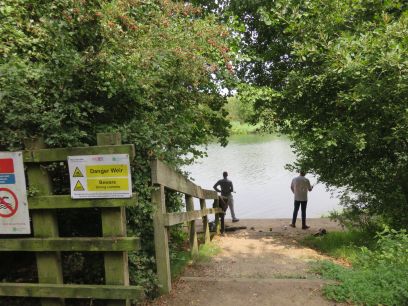
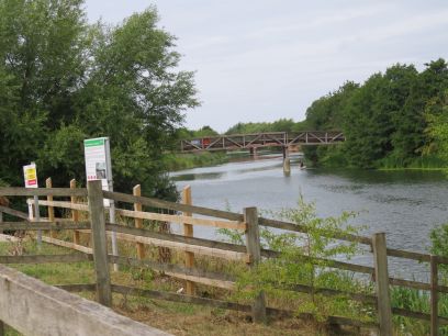
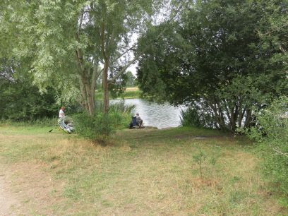
Wood Lane bridge which carries a farm lane over the river. A couple of anglers hoping for some catches.
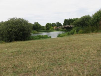
Manor Farm weir where I spent a little time just watching. The Canadian Geese were proudly strutting right up the weir itself without a care in the world.
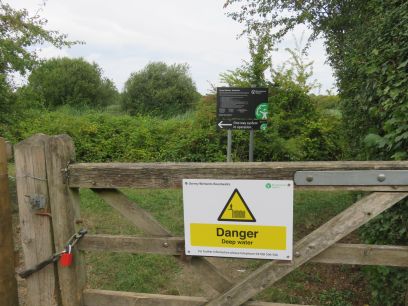
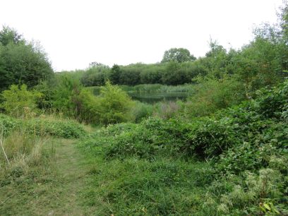
Dorney Wetlands which was a recommended short diversion but the gate was firmly paddlocked. Then more anglers.
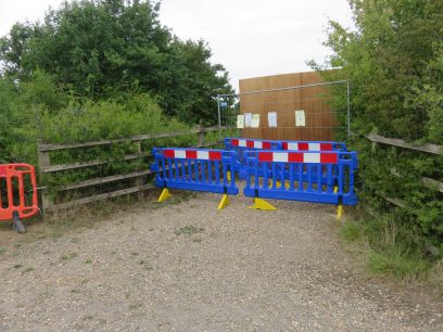
After passing Manor Farm and Dorney footbridges I came to Ashford Lane footbridge. This had been closed for a year and in June it spectacularly collapsed into the river. I think the photographs in the press were taken from the opposite bank and I couldn't see the collapsed section but as you can see it is firmly closed from access.
The walk continues along more open areas and the M4 looms again in the distance and the path passes underneath it.
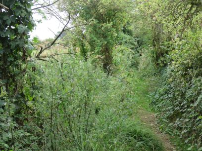
Shortly after passing under the motorway I leave the river, crossing it at West Farm Town Bridge. Here I took the suggested route along a woodland path which turned out to be quite narrow and very overgrown, emerging on the road leading to Taplow station. From there I made my way back to Reading, had a belated lunch, then with some delays back home after quite a long day, pleasant but tiring.