
This is one of the walks in the book 'Exploring the Elizabeth Line' by Jeff Lock. On this occasion although the Elizabeth line terminates at Reading the walk has nothing else to do with it. A pleasant circular walk along the Kennet down to Southcote Lock then back along the disused Coley Branch Line.
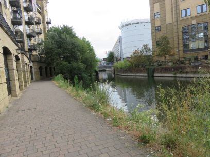
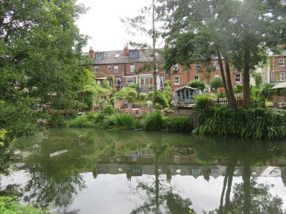
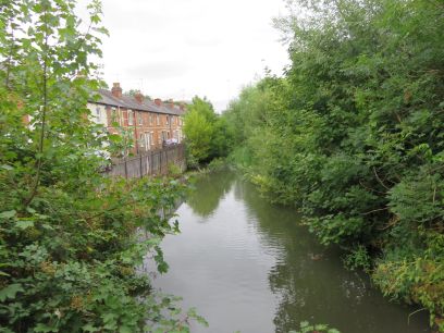
The walk starts at Bridge Street just south of the Minster. The initial stretch is still very much Reading but it soon becomes countryfied.
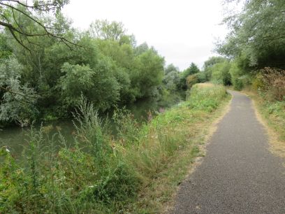
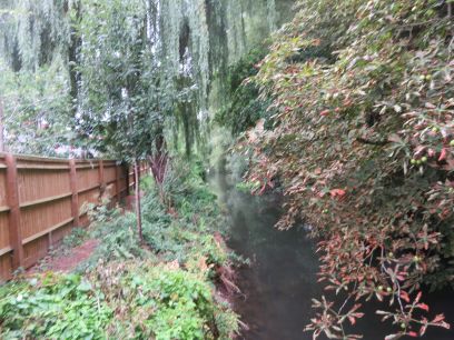
It passes under the Inner Disribution road and then is very rural. Some work to repair the river bank is going on along this stretch with signs indicating intermittent topwpath closures but all is well this morning.
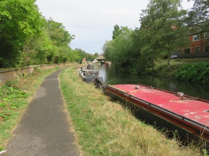
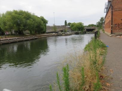
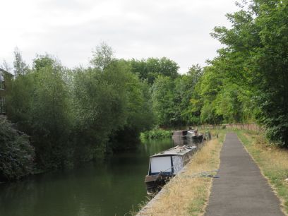
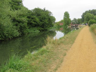
Barges and houses right along the river bank.
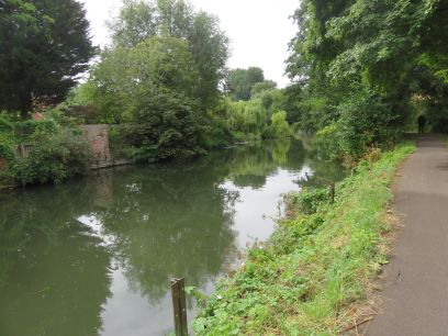
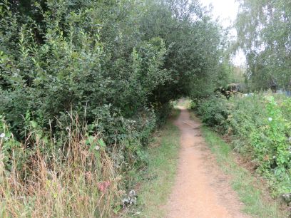
Even more rural for the next mile or so.
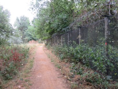
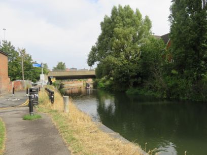
After passing under the A33 the towpath becomes earth and gravel. A long high security fence surrounds what is the Fobney Water Treatment works.
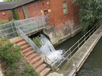
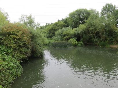
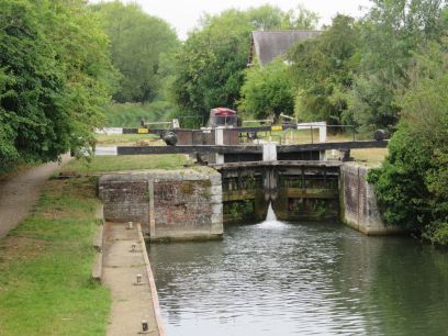
Fobney Mill with its impressive waterfall then the lock itself. Here there is a short section of canal with Fobney Island between the river and canal. Fobney Island is a wetland nature reserve and a short diversion would take me through the island though I took the canal towpath.
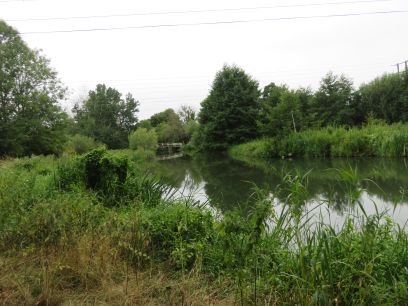
The towpath runs alongside the nature reserve and towards the end widens considerably.
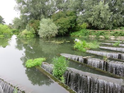
Where the canal merges again with the river is the impressive Fobney Labyrinth Weir with a continuous cascade of water. Then along the river with a small white bridge appearing in the distance.
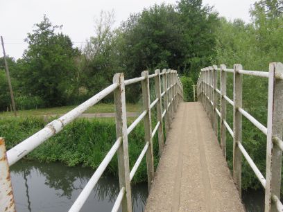
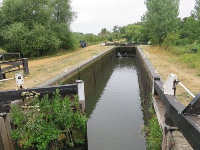
Southcote Lock where our walk along the river finishes and that small white bridge is crossed, which seemed incredibly narrow.
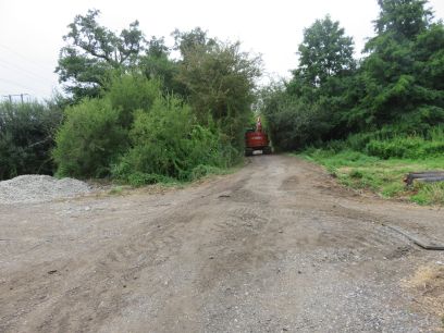
A country path takes me away from the river. At one point there are chaps with large machinery who had to pause their work to let me pass.
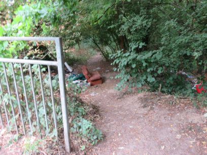
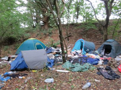
After passing under the railway line the start of the Coley branch line is reached. This was a single track line to the Reading Goods Depot. The line closed in 1983 and the far end has now been redeveloped. It is accessed from a gap in the fencing and with all the fly tipping and homeless tents there I first thought this was the wrong place.
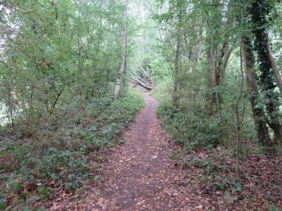
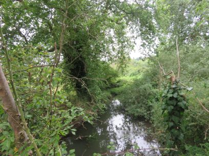
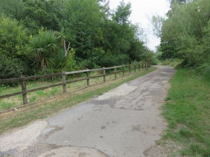
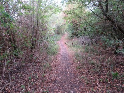
The bed of the former railway now is a pleasant country path though very much the same along its length. It is not well maintained and there are several fallen trees which had to be ducked under. It soon reaches Holy Brook which is crossed via a bridge.
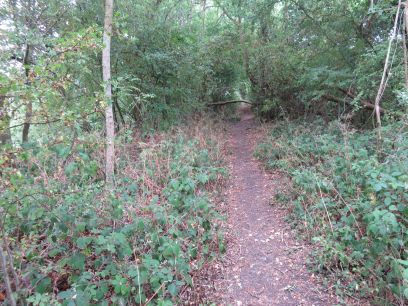
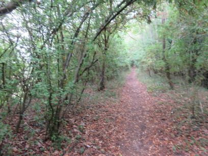
More fallen trees. There are options in the guide for leaving the railway and following Holy Brook. The first point to do this involved a very steep slope, the second one some way along looked OK but I carried along the track bed anyway.
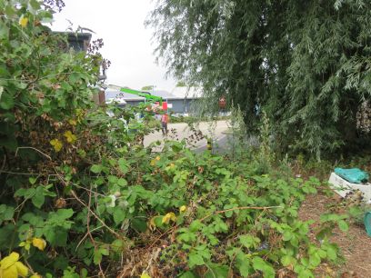
The pleasant path continues for some while then abruptly finishes at the boundary of a retail park. Directions become somewhat unclear from this point and I had to walk through the car park, along the large retail stores, and find the overflow carpark at the other end. These retail parks never seem to be designed for pedestrians and I am not sure if I actually found the overflow carpark but eventually found a bridge crossing Holy Brook behind it.
A short walk along Holy Brook then after crossing the A4 at a busy traffic light junction I again got lost but eventually found my way back to the Kennet and central Reading after a quite pleasant day walking.